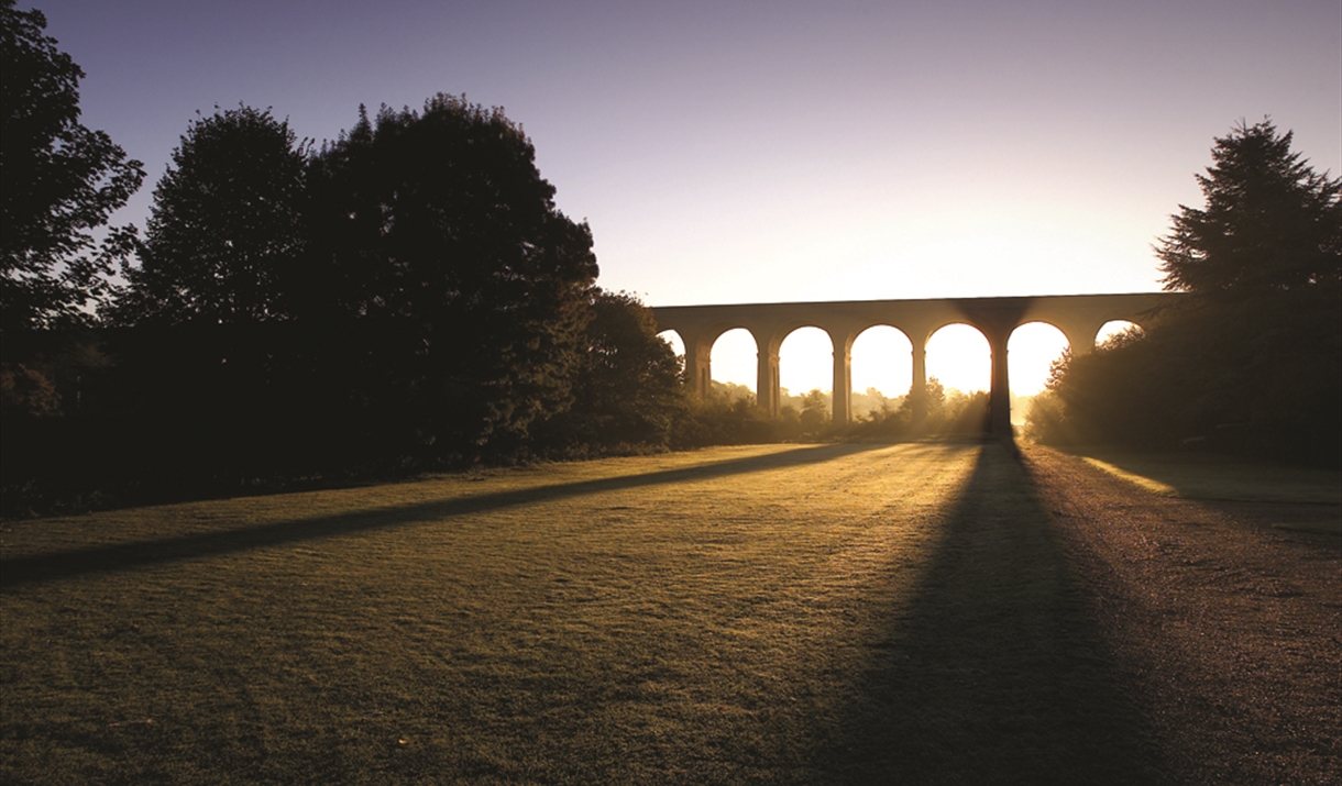
Chappel to Bures
Facilities
Routes
- Length of route (miles) - 4

To build your own Itinerary, click  next to an item to add it to your Itinerary basket. You will then be able to save, download, or share your itinerary.
Already saved an Itinerary?

This 4 mile / 6.4 km walk explores the rolling countryside bordering the western flank of the Stour valley and offers sweeping views of the landscape favoured by both Gainsborough and Constable. A lovely walk with varied terrain including some slopes for intermediate walkers.
Why not also take the opportunity to visit the East Anglian Railway Museum based at Chappel Station at the same time?
Devised by Essex & South Suffolk Community Rail Partnership (ESSCRP) this route is easily accessible via train at Chappel and Bures stations.
Directions
1. From Chappel Station walk down the station approach road and turn right uphill. Along the way you will pass over a hump-back bridge under which used to run the Colne Valley and Halstead railway line from Chappel and Wakes Colne Station to Haverhill.
2. Follow this minor road until a lane diverges to the left, signposted White Colne. Follow this through a small plantation before turning right opposite a brick barn, painted black, just after “The Shambles”, onto a signposted field path.
3. Follow this through a meadow into a field keeping the hedge to the left. Follow the way-marked footpath, which is a bit zig-zagged. This eventually comes out into a lane opposite Windmill Cottage.
4. Turn left and then, at a T junction, turn right down a metalled track until it veers right. There are the remains of an ornate cast iron gate to your left. Go through this gate and follow a grassy track downhill which offers fine views across the Stour Valley.
5. Where the track ends at a field continue downhill with the hedge to your right. At the foot of the hill follow a way-marked path into a copse to your right. Follow a mainly boarded path through the copse, keeping an open field to your right, cross a gate and bridge to emerge on a motor-bike scramble track.
6. The footpath now proceeds left uphill. Follow a track past the spectator point along the crest of the hill. Where this track swings left to leave the site, turn right and follow the perimeter track downhill to a group of low brick buildings.
7. Shortly past these turn left across a stream and go uphill towards a house. Pass the house and proceed straight ahead on a concrete track which offers wide views over the Stour Valley until Mount Bures church is on your right.
8. Follow this track straight on until reaching the main road at Bakers Hall Farm. Turn right towards Bures and towards the foot of the hill and the edge of the village, just before Parsonage Grove, turn right along a signposted footpath.
9. Cross the Stour Valley Line and turn left, walking through a small estate to reach Bures Station.
For over 50 years the East Anglian Railway Museum has been transporting visitors of all…
For over 50 years the East Anglian Railway Museum has been transporting visitors of all…